
老鸦庄镇 topographic map
Interactive map
Click on the map to display elevation.
About this map
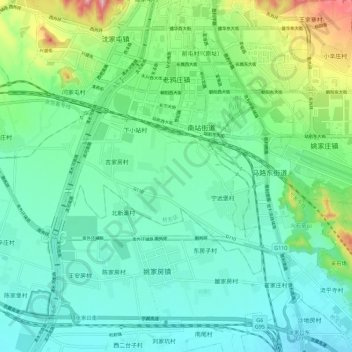
Name: 老鸦庄镇 topographic map, elevation, terrain.
Location: 老鸦庄镇, 桥东区, 张家口市, 河北省, 075000, 中国 (40.69603 114.84298 40.78124 114.94653)
Average elevation: 703 m
Minimum elevation: 653 m
Maximum elevation: 862 m
Other topographic maps
Click on a map to view its topography, its elevation and its terrain.