
赤城县 topographic map
Interactive map
Click on the map to display elevation.
About this map
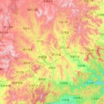
Name: 赤城县 topographic map, elevation, terrain.
Location: 赤城县, 张家口市, 河北省, 中国 (40.51137 115.42285 41.38833 116.45931)
Average elevation: 1,222 m
Minimum elevation: 427 m
Maximum elevation: 2,287 m
Other topographic maps
Click on a map to view its topography, its elevation and its terrain.