
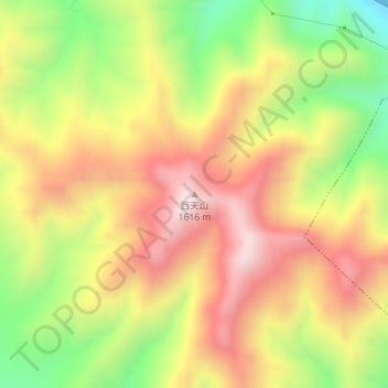
西天山 topographic map
Interactive map
Click on the map to display elevation.
About this map
Name: 西天山 topographic map, elevation, terrain.
Location: 西天山, 张家口市, 河北省, 中国 (40.75621 115.68444 40.75631 115.68454)
Average elevation: 1,304 m
Minimum elevation: 941 m
Maximum elevation: 1,619 m
Other topographic maps
Click on a map to view its topography, its elevation and its terrain.