
姚家房镇 topographic map
Interactive map
Click on the map to display elevation.
About this map
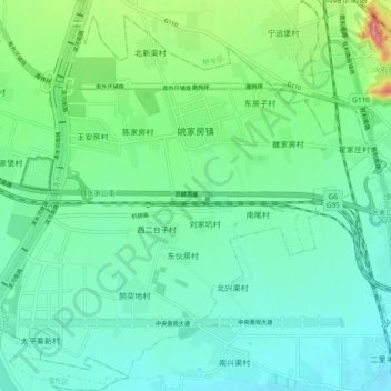
Name: 姚家房镇 topographic map, elevation, terrain.
Location: 姚家房镇, 桥西区, 张家口市, 河北省, 075000, 中国 (40.67111 114.82097 40.73657 114.91440)
Average elevation: 669 m
Minimum elevation: 638 m
Maximum elevation: 769 m
Other topographic maps
Click on a map to view its topography, its elevation and its terrain.