
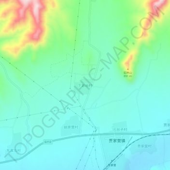
下葛峪村 topographic map
Interactive map
Click on the map to display elevation.
About this map
Name: 下葛峪村 topographic map, elevation, terrain.
Location: 下葛峪村, 张家口市, 河北省, 中国 (40.60751 115.18146 40.64751 115.22146)
Average elevation: 734 m
Minimum elevation: 662 m
Maximum elevation: 974 m
Other topographic maps
Click on a map to view its topography, its elevation and its terrain.