
桦皮岭 topographic map
Interactive map
Click on the map to display elevation.
About this map
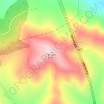
Name: 桦皮岭 topographic map, elevation, terrain.
Location: 桦皮岭, 张家口市, 河北省, 中国 (41.24257 115.43056 41.24267 115.43066)
Average elevation: 1,897 m
Minimum elevation: 1,619 m
Maximum elevation: 2,125 m
Other topographic maps
Click on a map to view its topography, its elevation and its terrain.