
谢家堡乡 topographic map
Interactive map
Click on the map to display elevation.
About this map
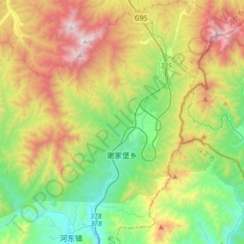
Name: 谢家堡乡 topographic map, elevation, terrain.
Location: 谢家堡乡, 南山区, 涿鹿县, 张家口市, 河北省, 中国 (39.87114 115.28546 40.05685 115.45421)
Average elevation: 1,226 m
Minimum elevation: 529 m
Maximum elevation: 2,415 m
Other topographic maps
Click on a map to view its topography, its elevation and its terrain.