
云顶 topographic map
Interactive map
Click on the map to display elevation.
About this map
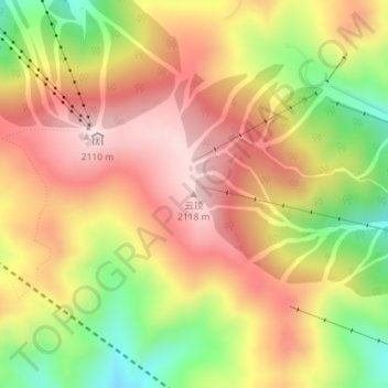
Name: 云顶 topographic map, elevation, terrain.
Location: 云顶, 张家口市, 河北省, 中国 (40.95000 115.40653 40.95010 115.40663)
Average elevation: 1,941 m
Minimum elevation: 1,724 m
Maximum elevation: 2,109 m
Other topographic maps
Click on a map to view its topography, its elevation and its terrain.