
下淖村 topographic map
Interactive map
Click on the map to display elevation.
About this map
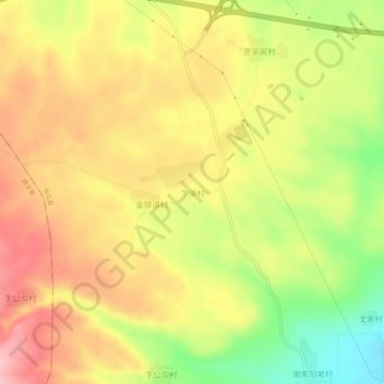
Name: 下淖村 topographic map, elevation, terrain.
Location: 下淖村, 张家口市, 河北省, 中国 (41.11921 114.36717 41.15921 114.40717)
Average elevation: 1,533 m
Minimum elevation: 1,444 m
Maximum elevation: 1,602 m
Other topographic maps
Click on a map to view its topography, its elevation and its terrain.