
南山区 topographic map
Interactive map
Click on the map to display elevation.
About this map
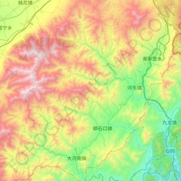
Name: 南山区 topographic map, elevation, terrain.
Location: 南山区, 涿鹿县, 张家口市, 河北省, 中国 (39.67147 114.99150 40.06443 115.45421)
Average elevation: 1,218 m
Minimum elevation: 261 m
Maximum elevation: 2,846 m
Other topographic maps
Click on a map to view its topography, its elevation and its terrain.