
尚义县 topographic map
Interactive map
Click on the map to display elevation.
About this map
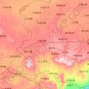
Name: 尚义县 topographic map, elevation, terrain.
Location: 尚义县, 张家口市, 河北省, 076761, 中国 (40.73224 113.81807 41.53567 114.44183)
Average elevation: 1,353 m
Minimum elevation: 708 m
Maximum elevation: 1,914 m
Other topographic maps
Click on a map to view its topography, its elevation and its terrain.