
张北镇 topographic map
Interactive map
Click on the map to display elevation.
About this map
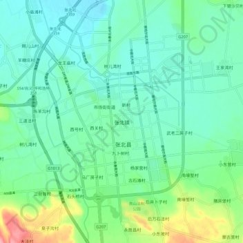
Name: 张北镇 topographic map, elevation, terrain.
Location: 张北镇, 张家口市, 河北省, 中国 (41.11558 114.67567 41.19558 114.75567)
Average elevation: 1,399 m
Minimum elevation: 1,374 m
Maximum elevation: 1,475 m
Other topographic maps
Click on a map to view its topography, its elevation and its terrain.