
青浦区 topographic map
Interactive map
Click on the map to display elevation.
About this map
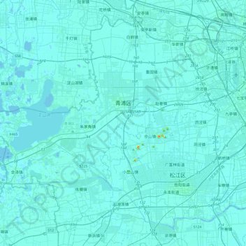
Name: 青浦区 topographic map, elevation, terrain.
Location: 青浦区, 上海市, 中国 (30.94196 120.85086 31.29404 121.31964)
Average elevation: 4 m
Minimum elevation: -5 m
Maximum elevation: 82 m
Other topographic maps
Click on a map to view its topography, its elevation and its terrain.