
吴泾镇 topographic map
Interactive map
Click on the map to display elevation.
About this map
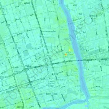
Name: 吴泾镇 topographic map, elevation, terrain.
Location: 吴泾镇, 闵行区, 上海市, 中国 (31.00931 121.41998 31.10682 121.48539)
Average elevation: 5 m
Minimum elevation: -6 m
Maximum elevation: 24 m
Other topographic maps
Click on a map to view its topography, its elevation and its terrain.