
长兴镇 topographic map
Interactive map
Click on the map to display elevation.
About this map
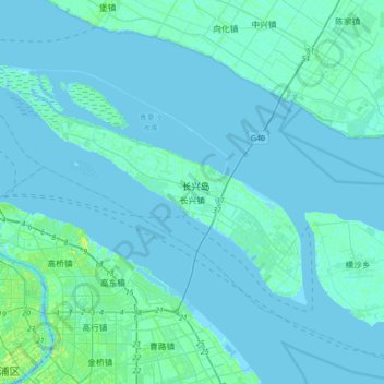
Name: 长兴镇 topographic map, elevation, terrain.
Location: 长兴镇, 崇明区, 上海市, 中国 (31.28348 121.47658 31.51136 121.81930)
Average elevation: 2 m
Minimum elevation: -4 m
Maximum elevation: 19 m
Other topographic maps
Click on a map to view its topography, its elevation and its terrain.