
安亭镇 topographic map
Interactive map
Click on the map to display elevation.
About this map
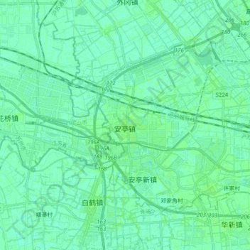
Name: 安亭镇 topographic map, elevation, terrain.
Location: 安亭镇, 嘉定区, 上海市, 中国 (31.25325 121.12195 31.34649 121.27620)
Average elevation: 4 m
Minimum elevation: 1 m
Maximum elevation: 6 m
Other topographic maps
Click on a map to view its topography, its elevation and its terrain.