
高境镇 topographic map
Interactive map
Click on the map to display elevation.
About this map
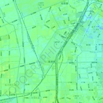
Name: 高境镇 topographic map, elevation, terrain.
Location: 高境镇, 宝山区, 上海市, 200439, 中国 (31.31344 121.44037 31.34184 121.49592)
Average elevation: 6 m
Minimum elevation: -2 m
Maximum elevation: 9 m
Other topographic maps
Click on a map to view its topography, its elevation and its terrain.