
徐行镇 topographic map
Interactive map
Click on the map to display elevation.
About this map
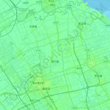
Name: 徐行镇 topographic map, elevation, terrain.
Location: 徐行镇, 嘉定区, 上海市, 201807, 中国 (31.37375 121.14119 31.48109 121.33307)
Average elevation: 4 m
Minimum elevation: -1 m
Maximum elevation: 7 m
Other topographic maps
Click on a map to view its topography, its elevation and its terrain.