
长征镇 topographic map
Interactive map
Click on the map to display elevation.
About this map
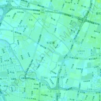
Name: 长征镇 topographic map, elevation, terrain.
Location: 长征镇, 普陀区, 上海市, 200333, 中国 (31.22175 121.34967 31.25155 121.39612)
Average elevation: 6 m
Minimum elevation: 2 m
Maximum elevation: 13 m
Other topographic maps
Click on a map to view its topography, its elevation and its terrain.