
浦江镇 topographic map
Interactive map
Click on the map to display elevation.
About this map
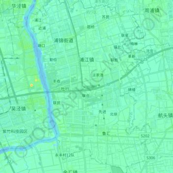
Name: 浦江镇 topographic map, elevation, terrain.
Location: 浦江镇, 闵行区, 上海市, 中国 (30.99039 121.47635 31.12360 121.57182)
Average elevation: 5 m
Minimum elevation: -5 m
Maximum elevation: 22 m
Other topographic maps
Click on a map to view its topography, its elevation and its terrain.