
金泽镇 topographic map
Interactive map
Click on the map to display elevation.
About this map
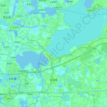
Name: 金泽镇 topographic map, elevation, terrain.
Location: 金泽镇, 青浦区, 上海市, 中国 (31.01134 120.85086 31.14375 121.03645)
Average elevation: 3 m
Minimum elevation: -5 m
Maximum elevation: 11 m
Other topographic maps
Click on a map to view its topography, its elevation and its terrain.