
马桥镇 topographic map
Interactive map
Click on the map to display elevation.
About this map
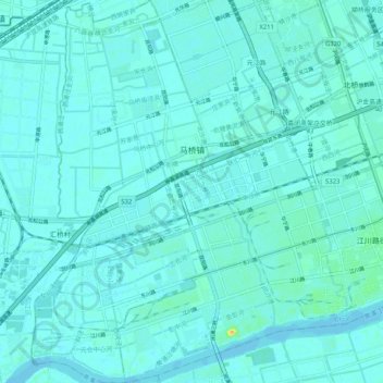
Name: 马桥镇 topographic map, elevation, terrain.
Location: 马桥镇, 闵行区, 上海市, 中国 (30.97834 121.32150 31.06600 121.39525)
Average elevation: 4 m
Minimum elevation: -3 m
Maximum elevation: 31 m
Other topographic maps
Click on a map to view its topography, its elevation and its terrain.