
法华 topographic map
Interactive map
Click on the map to display elevation.
About this map
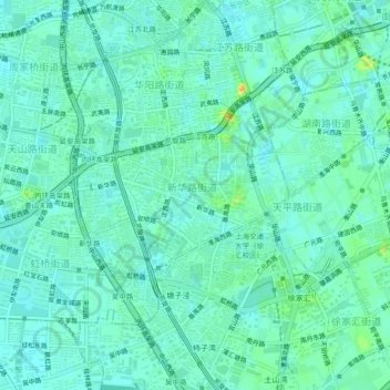
Name: 法华 topographic map, elevation, terrain.
Location: 法华, 长宁区, 上海市, 200052, 中国 (31.18597 121.40196 31.22597 121.44196)
Average elevation: 9 m
Minimum elevation: 1 m
Maximum elevation: 30 m
Other topographic maps
Click on a map to view its topography, its elevation and its terrain.