
泊里镇 topographic map
Interactive map
Click on the map to display elevation.
About this map
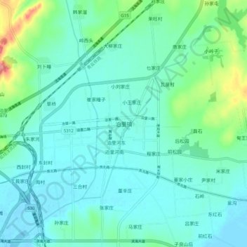
Name: 泊里镇 topographic map, elevation, terrain.
Location: 泊里镇, 青岛市, 山东省, 中国 (35.66174 119.73955 35.74174 119.81955)
Average elevation: 21 m
Minimum elevation: -2 m
Maximum elevation: 111 m
Other topographic maps
Click on a map to view its topography, its elevation and its terrain.