
市北区 topographic map
Interactive map
Click on the map to display elevation.
About this map
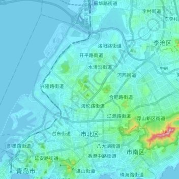
Name: 市北区 topographic map, elevation, terrain.
Location: 市北区, 青岛市, 山东省, 266011, 中国 (36.06730 120.28587 36.16307 120.42686)
Average elevation: 26 m
Minimum elevation: -3 m
Maximum elevation: 325 m
Other topographic maps
Click on a map to view its topography, its elevation and its terrain.