
洼里 topographic map
Interactive map
Click on the map to display elevation.
About this map
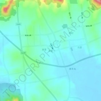
Name: 洼里 topographic map, elevation, terrain.
Location: 洼里, 青岛市, 山东省, 中国 (36.44593 120.85212 36.48593 120.89212)
Average elevation: 23 m
Minimum elevation: -2 m
Maximum elevation: 130 m
Other topographic maps
Click on a map to view its topography, its elevation and its terrain.