
张家楼镇 topographic map
Interactive map
Click on the map to display elevation.
About this map
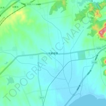
Name: 张家楼镇 topographic map, elevation, terrain.
Location: 张家楼镇, 青岛市, 山东省, 中国 (35.75946 119.86027 35.83946 119.94027)
Average elevation: 33 m
Minimum elevation: -2 m
Maximum elevation: 215 m
Other topographic maps
Click on a map to view its topography, its elevation and its terrain.