
梅花山街道 topographic map
Interactive map
Click on the map to display elevation.
About this map
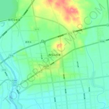
Name: 梅花山街道 topographic map, elevation, terrain.
Location: 梅花山街道, 青岛市, 山东省, 中国 (36.86710 120.46604 36.94710 120.54604)
Average elevation: 70 m
Minimum elevation: 50 m
Maximum elevation: 125 m
Other topographic maps
Click on a map to view its topography, its elevation and its terrain.