
黄岛街道 topographic map
Interactive map
Click on the map to display elevation.
About this map
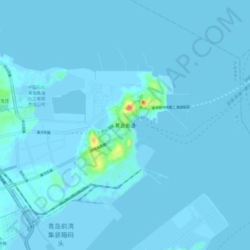
Name: 黄岛街道 topographic map, elevation, terrain.
Location: 黄岛街道, 青岛市, 山东省, 中国 (36.00486 120.17789 36.08486 120.25789)
Average elevation: 1 m
Minimum elevation: -6 m
Maximum elevation: 42 m
Other topographic maps
Click on a map to view its topography, its elevation and its terrain.