
华光潭村 topographic map
Interactive map
Click on the map to display elevation.
About this map
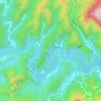
Name: 华光潭村 topographic map, elevation, terrain.
Location: 华光潭村, 杭州市, 浙江省, 中国 (30.27311 118.98245 30.31311 119.02245)
Average elevation: 566 m
Minimum elevation: 409 m
Maximum elevation: 1,000 m
Other topographic maps
Click on a map to view its topography, its elevation and its terrain.