
将军山 topographic map
Interactive map
Click on the map to display elevation.
About this map
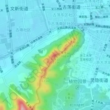
Name: 将军山 topographic map, elevation, terrain.
Location: 将军山, 杭州市, 浙江省, 310007, 中国 (30.26696 120.10934 30.26706 120.10944)
Average elevation: 35 m
Minimum elevation: 3 m
Maximum elevation: 202 m
Other topographic maps
Click on a map to view its topography, its elevation and its terrain.