
牵牛岗 topographic map
Interactive map
Click on the map to display elevation.
About this map
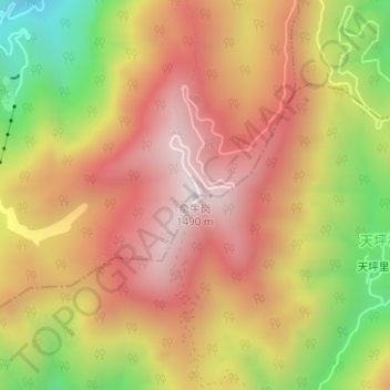
Name: 牵牛岗 topographic map, elevation, terrain.
Location: 牵牛岗, 杭州市, 浙江省, 中国 (30.02797 119.00231 30.02807 119.00241)
Average elevation: 1,135 m
Minimum elevation: 656 m
Maximum elevation: 1,473 m
Other topographic maps
Click on a map to view its topography, its elevation and its terrain.