
北㘰 topographic map
Interactive map
Click on the map to display elevation.
About this map
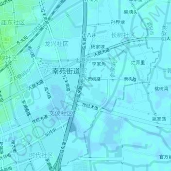
Name: 北㘰 topographic map, elevation, terrain.
Location: 北㘰, 南苑街道, 临平区, 杭州市, 东湖社区, 浙江省, 中国 (30.41766 120.31623 30.41791 120.31797)
Average elevation: 6 m
Minimum elevation: 5 m
Maximum elevation: 12 m