
龙井村 topographic map
Interactive map
Click on the map to display elevation.
About this map
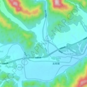
Name: 龙井村 topographic map, elevation, terrain.
Location: 龙井村, 杭州市, 浙江省, 中国 (30.15134 119.10059 30.19134 119.14059)
Average elevation: 205 m
Minimum elevation: 132 m
Maximum elevation: 510 m
Other topographic maps
Click on a map to view its topography, its elevation and its terrain.