
兰江 topographic map
Interactive map
Click on the map to display elevation.
About this map
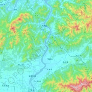
Name: 兰江 topographic map, elevation, terrain.
Location: 兰江, 建德市, 杭州市, 浙江省, 321100, 中国 (29.20573 119.45124 29.53374 119.53947)
Average elevation: 220 m
Minimum elevation: 15 m
Maximum elevation: 1,292 m
Other topographic maps
Click on a map to view its topography, its elevation and its terrain.