
良渚街道 topographic map
Interactive map
Click on the map to display elevation.
About this map
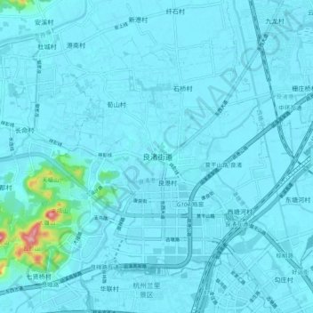
Name: 良渚街道 topographic map, elevation, terrain.
Location: 良渚街道, 杭州市, 浙江省, 中国 (30.34237 120.00149 30.42237 120.08149)
Average elevation: 10 m
Minimum elevation: 2 m
Maximum elevation: 152 m