
钱塘江 topographic map
Interactive map
Click on the map to display elevation.
About this map
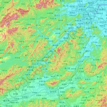
Name: 钱塘江 topographic map, elevation, terrain.
Location: 钱塘江, 桐庐县, 杭州市, 浙江省, 311500, 中国 (28.94623 118.85385 30.39155 120.67454)
Average elevation: 253 m
Minimum elevation: 0 m
Maximum elevation: 1,658 m
Other topographic maps
Click on a map to view its topography, its elevation and its terrain.