
大洋镇 topographic map
Interactive map
Click on the map to display elevation.
About this map
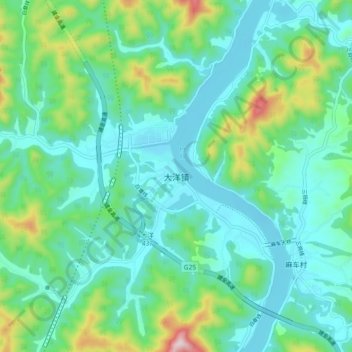
Name: 大洋镇 topographic map, elevation, terrain.
Location: 大洋镇, 杭州市, 浙江省, 中国 (29.40250 119.46884 29.48250 119.54884)
Average elevation: 119 m
Minimum elevation: 13 m
Maximum elevation: 499 m
Other topographic maps
Click on a map to view its topography, its elevation and its terrain.