
径山镇 topographic map
Interactive map
Click on the map to display elevation.
About this map
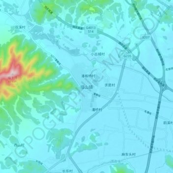
Name: 径山镇 topographic map, elevation, terrain.
Location: 径山镇, 杭州市, 浙江省, 中国 (30.33749 119.82059 30.41749 119.90059)
Average elevation: 41 m
Minimum elevation: 2 m
Maximum elevation: 451 m
Other topographic maps
Click on a map to view its topography, its elevation and its terrain.