
治新村 topographic map
Interactive map
Click on the map to display elevation.
About this map
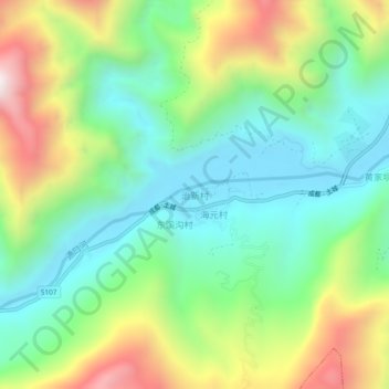
Name: 治新村 topographic map, elevation, terrain.
Location: 治新村, 绵阳市, 四川省, 中国 (31.84562 104.49337 31.88562 104.53337)
Average elevation: 942 m
Minimum elevation: 601 m
Maximum elevation: 1,585 m
Other topographic maps
Click on a map to view its topography, its elevation and its terrain.