
松垭镇 topographic map
Interactive map
Click on the map to display elevation.
About this map
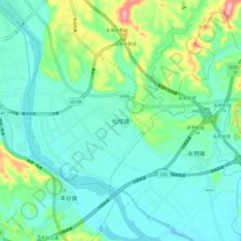
Name: 松垭镇 topographic map, elevation, terrain.
Location: 松垭镇, 绵阳市, 四川省, 中国 (31.33697 104.80602 31.41697 104.88602)
Average elevation: 456 m
Minimum elevation: 419 m
Maximum elevation: 585 m
Other topographic maps
Click on a map to view its topography, its elevation and its terrain.