
千佛山 topographic map
Interactive map
Click on the map to display elevation.
About this map
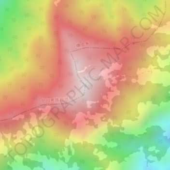
Name: 千佛山 topographic map, elevation, terrain.
Location: 千佛山, 绵阳市, 四川省, 中国 (31.74345 104.21255 31.74355 104.21265)
Average elevation: 2,464 m
Minimum elevation: 1,823 m
Maximum elevation: 2,918 m
Other topographic maps
Click on a map to view its topography, its elevation and its terrain.