
龙尾山 topographic map
Interactive map
Click on the map to display elevation.
About this map
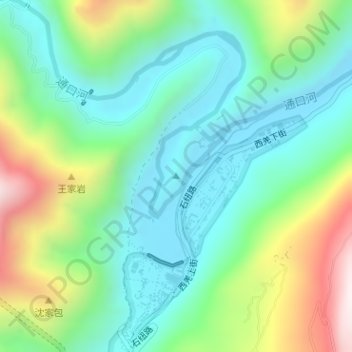
Name: 龙尾山 topographic map, elevation, terrain.
Location: 龙尾山, 绵阳市, 四川省, 中国 (31.83471 104.45567 31.83481 104.45577)
Average elevation: 859 m
Minimum elevation: 620 m
Maximum elevation: 1,405 m
Other topographic maps
Click on a map to view its topography, its elevation and its terrain.