
蔡家坝 topographic map
Interactive map
Click on the map to display elevation.
About this map
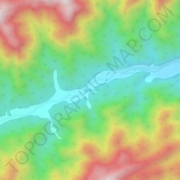
Name: 蔡家坝 topographic map, elevation, terrain.
Location: 蔡家坝, 绵阳市, 四川省, 中国 (32.15554 104.98491 32.19554 105.02491)
Average elevation: 1,152 m
Minimum elevation: 800 m
Maximum elevation: 1,688 m
Other topographic maps
Click on a map to view its topography, its elevation and its terrain.