
玄武峰 topographic map
Interactive map
Click on the map to display elevation.
About this map
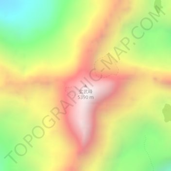
Name: 玄武峰 topographic map, elevation, terrain.
Location: 玄武峰, 小金县, 阿坝藏族羌族自治州, 四川省, 中国 (31.12145 102.81107 31.12155 102.81117)
Average elevation: 4,671 m
Minimum elevation: 3,943 m
Maximum elevation: 5,354 m
Other topographic maps
Click on a map to view its topography, its elevation and its terrain.