
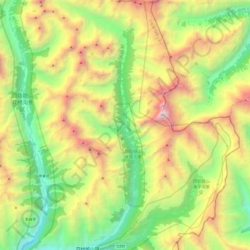
长坪沟 topographic map
Interactive map
Click on the map to display elevation.
About this map
Name: 长坪沟 topographic map, elevation, terrain.
Location: 长坪沟, 四姑娘山镇, 小金县, 阿坝藏族羌族自治州, 四川省, 中国 (30.99452 102.80116 31.20040 102.87783)
Average elevation: 4,276 m
Minimum elevation: 3,006 m
Maximum elevation: 6,250 m
Other topographic maps
Click on a map to view its topography, its elevation and its terrain.