
双桥沟 topographic map
Interactive map
Click on the map to display elevation.
About this map
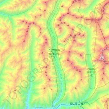
Name: 双桥沟 topographic map, elevation, terrain.
Location: 双桥沟, 人参果坪, 小金县, 阿坝藏族羌族自治州, 四川省, 中国 (30.98178 102.75497 31.24673 102.80737)
Average elevation: 4,241 m
Minimum elevation: 2,918 m
Maximum elevation: 6,250 m
Other topographic maps
Click on a map to view its topography, its elevation and its terrain.