
人参果坪 topographic map
Interactive map
Click on the map to display elevation.
About this map
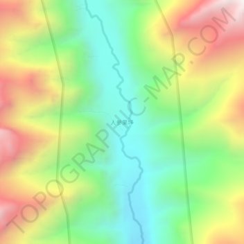
Name: 人参果坪 topographic map, elevation, terrain.
Location: 人参果坪, 小金县, 阿坝藏族羌族自治州, 四川省, 中国 (31.03579 102.76717 31.07579 102.80717)
Average elevation: 3,794 m
Minimum elevation: 3,208 m
Maximum elevation: 4,646 m
Other topographic maps
Click on a map to view its topography, its elevation and its terrain.