
美兴镇 topographic map
Interactive map
Click on the map to display elevation.
About this map
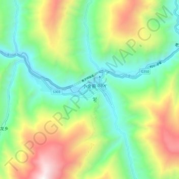
Name: 美兴镇 topographic map, elevation, terrain.
Location: 美兴镇, 小金县, 阿坝藏族羌族自治州, 四川省, 624200, 中国 (30.95939 102.31823 31.03939 102.39823)
Average elevation: 2,915 m
Minimum elevation: 2,252 m
Maximum elevation: 4,145 m
Other topographic maps
Click on a map to view its topography, its elevation and its terrain.