
大玛雅峰 topographic map
Interactive map
Click on the map to display elevation.
About this map
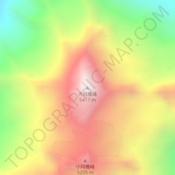
Name: 大玛雅峰 topographic map, elevation, terrain.
Location: 大玛雅峰, 小金县, 阿坝藏族羌族自治州, 四川省, 中国 (31.29340 102.71491 31.29350 102.71501)
Average elevation: 4,740 m
Minimum elevation: 4,042 m
Maximum elevation: 5,377 m
Other topographic maps
Click on a map to view its topography, its elevation and its terrain.